...
| Expand | ||
|---|---|---|
| ||
| Expand | ||
|---|---|---|
| ||
Recent advances in drone technologies have provided significant opportunities for providing detailed information on mangroves including:
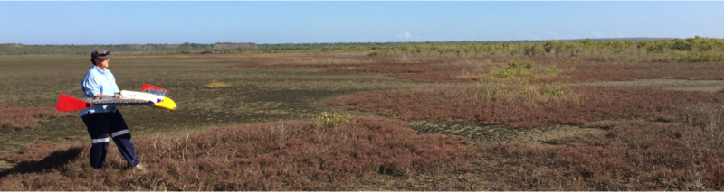 A number of drone datasets have been made available through the portal including: Drone data and derived products relevant to mangroves can be uploaded to the TERN Mangrove Portal. A major future benefit of providing these data is that the community has access to a historical and permanent record of mangrove states and dynamics, which can provide invaluable information on the impacts of human-induced and natural environmental change. References =Otero, V., Van De Kerchove, R., Satyanarayana, B., Martinez-Espinoas, C., Fisol, M.A.B., Ibrahim, M.R.B., Sulong, I., Mohd-Lokman, H, Lucas, R.M. and Dahdouh-Guebas, F. (2018). Managing mangrove forests from the sky: forest inventory using field data and Unmanned Aerial Vehicle (UAV) imagery in the Matang Mangrove Forest Reserve, peninsular Malaysia. Forest Ecology and Management, 411, 35–45. |
...