Welcome to TERN Knowledge Base
PROPORTIONAL VEGETATION COVER (= FRACTIONAL COVER): 'fractional_cover' function
The 'fractional_cover' function in the 'auscoverR' package calculates fractional cover from AusPlots point intercept (PI) data (as generated by 'get_ausplots'). Fractional cover refers to the proportions of green vegetation, dead vegetation and bare substrate cover. Cover fractions are assigned as follows: . ‘Green’ or ‘photosynthetic vegetation’: is living vascular plant cover. . ‘Brown’ or ‘non-photosynthetic vegetation’: is either vascular plant cover scored as ‘dead’, or substrate scored as litter, coarse woody debris or cryptogam (see below) that has no other veg cover. . ‘Bare’ or ‘bare ground’: is rock, outcrop, gravel or bare soil with no veg cover substrate.
Typically, 1010 intercept points are used to compute fractional cover in a plot. These 1010 intercept points correspond to 11 points at 1 meters intervals in each of 10 transects of 10 meters of length (5 transects oriented North to South and 5 oriented East to West; see ‘Ecosystem Surveillance Monitoring - AusPlots Methods’). The percentage scored for each fraction is computed as the number of hits assigned to each fraction times 100 divided by the total number of PIs taken (usually 1010, but this number can vary).
A height rule is applied, so that scoring the green/brown/bare fraction from point intercept hits of the uppermost vegetation/substrate stratum overrides the others. That is, a dead tree overrides a living shrub beneath and vice versa. Similarly, any vegetation cover overrides substrate coding, etc. This means for each of the intercepts, there is a single coding.
Arguments:
- 'ground_fractional': When set to ‘TRUE’ it computes fractional cover exclusively for Ground Cover. That is, fractional cover is computed only for grasses (hummock, tussock, other); sedge; rush; forb; fern; and vine plant growth forms. Presently, cryptogam cover is excluded, and included in the non-photosynthetic fraction instead. The default for this argument is ‘FALSE’.
- 'in_canopy_sky': With the default value ('in_canopy_sky = FALSE'), only the substrate is considered for those hits. This argument applies only to regular fractional cover (i.e. for 'ground_fractional = FALSE'), as trees are excluded in the green fraction for ground fractional cover by default.
Occasionally, substrate type was not collected (i.e. ‘NC’) or could not be assigned to one of the above categories (i.e. ‘Unknwn’). In these cases, if there was no vegetation cover above those points percent cover is scored as an ‘NA’ fraction.
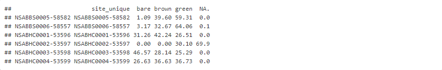
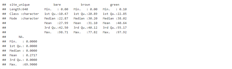
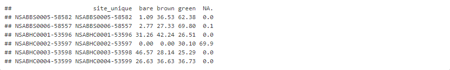
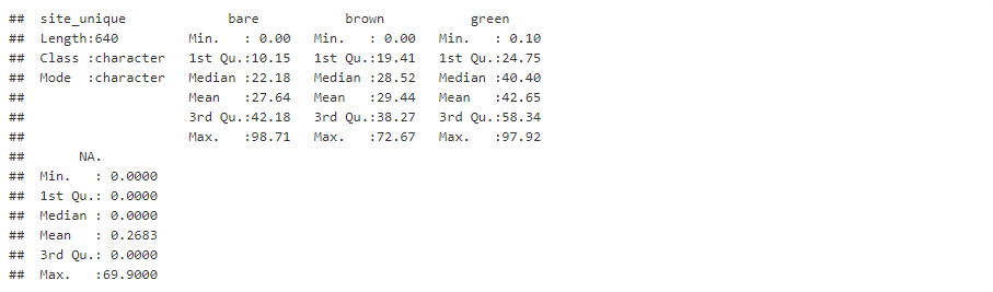
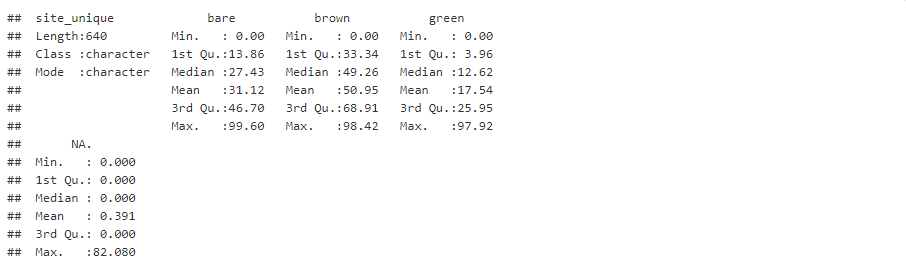
The 'fractional_cover' function returns a data frame. In this data frame rows denote plots, columns denote fractions (i.e. bare, brown, green, and NA), and values are cover percentages.
EXAMPLES
Examples of the use of the 'fractional_cover' funtion are presented below. In the examples, different flavours of Fractional Cover are computed by varying the argument values (see above). Fractional cover is computed for the full set of vegetation point intersect data currently available at AusPlots, so running these examples might take a little bit of time (between 1.6 and 1.9 minutes per example in my machine). The list of data frames containing information for all currently available AusPlots sites (i.e. the 'AP.data' list) was previously created iusing the 'get_ausplots' function (see the 'Obtaining AusPlots data: 'get_ausplots' function' Step-by-Step Guide; we use the list created in Example 4). The resulting 'Fractional Cover' data frames can be eriched with addional information as seen in the 'Manipulating AusPlots data II: Merging data frames' Step-by-Step Guide.
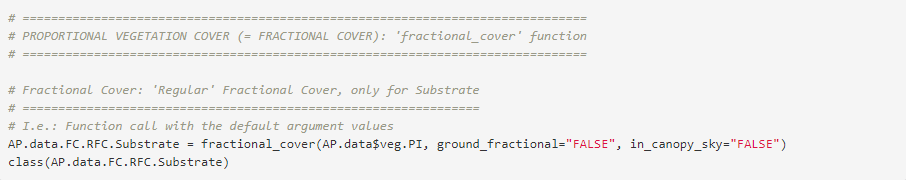
Example 1: 'Regular' Fractional Cover, only for Substrate


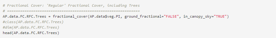
Example 2: 'Regular' Fractional Cover, including Trees

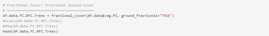
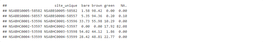
Example 3: Fractional Ground Cover

Provide your feedback about the experience with Knowledge base